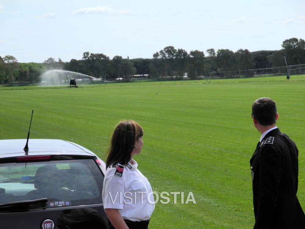
Pianabella is an agricultural area located next to Ostia Antica (after the bridge over the railway, leaving Ostia Antica town on your back), walking down the road that passes by the local Cemetery (via di Pianabella)
In the II century was a cemetery. It was an expansion of the Laurentina necropolis. Some splendid Roman sarcophaguses come from here, there are five hills which cut the area from northeast and southwest, that correspond to the cemeterial roads. The hills were formed by the collapse of the tombs on their sides.
In 1976 further south than Laurentina necropolis, near via Ostiense, a Christian basilica was discovered. It probably dates back to the IV or V century. Some experts identify it as Saint Peter, Paul and John’s Basilica mentioned in Liber Pontificalis. Others prefer stating that it is Saint Lorenzo’s Basilica, built by a Gallic martyr under Emperor Julianius (IV century, which some sources indicate outside Porta Laurentina. Probably the Gallic had donated some money to the basilica and the name Lorenzo came afterwards being it near Porta Laurentina.
The building had a single nave (40, 30 x 16, 20) built ex novo in opus vittatum, with a rear apse and a small portico at the entrance. It is oriented east-west. It was built on previous funerary structures, partially reusing them. In the apse a very precious altar table was found dated IV – V century. It was restored various time until the IX century when it collapsed probably thanks to an earthquake.
Along the coastal area called Procoio around the I century, a series of building, above all villas, were built within the project of waterfront constructions. This project included the entire southern axis during the Imperial age.
The main coastal axis was the one which afterwards will be named via Severiana. Emperor Spetimius Severus (end II – beginning III century) widened the road paved in basalt. This ran along this coastal axis which formed the Tiber’s mouth (Portus), arriving in Terracina, passing through Ostia and Anzio. It also connected villas and small villages established along the coast (like Vicus Augustanus Laurentinium) and other roads (Portuense, Ostiense, Laurentina and Ardeatina).
The old tracks indicate the stationes of Vicus Augustanus Laurentium (Tor Paterno), Lavinium (Pratica di Mare), Antium (Anzio) Astura (Torre Astura), Clostra (PCapo Portiere), Turres Albas (Torre di Fogliano), Circeios (San Felice Circeo) and Turres (Torre Vittorio).
The villas had their main entrances facing the road, separated by a broad free area; several buildings overlooked the sea, reachable by stairwells and through gardens.
After the cemetery, along via Severiana, you see the first archaeological remains. Somewere brought to light during the only archaeological campaign carried out in this area between 1980 and 1986. The previous ones in 1957 and 1959 only delimitated the areas which were afterwards subject to restrictions.
The remainings of a building in opus vittatum are visible on the right. The structure is nearly all covered by brambles and is unreachable. Immediately after, there is a second building in brickwork. It is what remains of a large room with a vaulted ceiling, but its function is not clear yet. There are various aspes and there elements could make it a nymphaeum (monumental fountain).
200 metres after you can see a monumental thermal complex. Its remains are spread over and area of 40 x 30 mt. their analysis is still partial. The brickwork and the foundations have induced experts to suppose that this building was erected between the end of the I century and the beginning of the II, on top of an existing complex.
This complex is articulated around two pools: frigidarium and calidarium. The latter together with the surrounding rooms were heated with the traditional suspensurae method (a gap under the floor heated by an oven) and with some tubuli (terracotta pipes fixed along the walls, covered by marble tiles, filled with hot air).
These two pools have a rectangular shape with an apse on one of the short sides. Forward for another 300 mt and there is a counterfort wall long 160 mt. only its eastern wall
has been excavated (the part towards the sea is still buried). On it there are 39 counterforts (little walls placed perpendicularly to the wall), 3 mt apart and about 2 mt high. This structure is in opus reticulatum. It was built in different moments from the I to the IV century b.C. even if it dates back to the I century. This date was decided analysing many pottery fragments. The use of this building is still uncertain.
Excerpt from: S. Lorenzatti (a cura di), Ostia. Storia, ambiente, itinerari, Roma 2007


