 Italiano
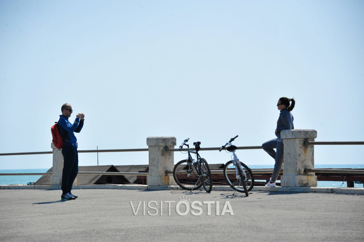
From Il Pontile to the Marina
From Il Pontile (the pier) proceeding Westward along the promenade, a 2220 meters long cycling path, heads to the Marina of Ostia.
Exception made for the section between piazzale dei Ravennati and via Giuliano da Sangallo (between the beach resorts Elmi and Tio Pepe) where the sidewalk (specially in Summer) might be too crowded to ride along, the rest of the route is along a bicycle path, in some sections separated by the pedestrians traffic as well.
The landscape is pleasant to the view, having on the left side of the path, mostly public free beaches (with almost no building to block the view) and further down the road the path simply rides along the shore.
Proceeding into the Marina, the bicycle path rides next to the boats dockings.
To the right side of the path, the buildings are mostly from the 1920-30s, of liberty style or roman “barocchetto” style inspired.
The city block between via Giuliano da Sangallo and via delle Sirene is occupied by the massive profile of the marine colony Vittorio Emanuele III: built between 1927 and 1932 by the architect Vincenzo Fasolo, was originally meant to be a marine hospice and colony, dedicated to children health care, specially for those coming from families with confirmed cases of tuberculosis. Currently the complex of buildings hosts several public facilities, including the Litus hostel and the Library “Elsa Morante”.
On Lungomare Paolo Toscanelli, 230 there’s the “House of Health”, a medical and pediatrict precint accessible all year round to those in need; the building was formed by the union of two pre-existing ones that date back to 1931, the Scotti institute and the ONMI insitute (for maternity and infancy).
- Length: 2220 meters
- Average time needed: 10’32”
- Calories: 121 kcal
- Addresses:
Lungomare Paolo Toscanelli (from Il Pontile) and lungomare Duca degli Abruzzi - Alerts:
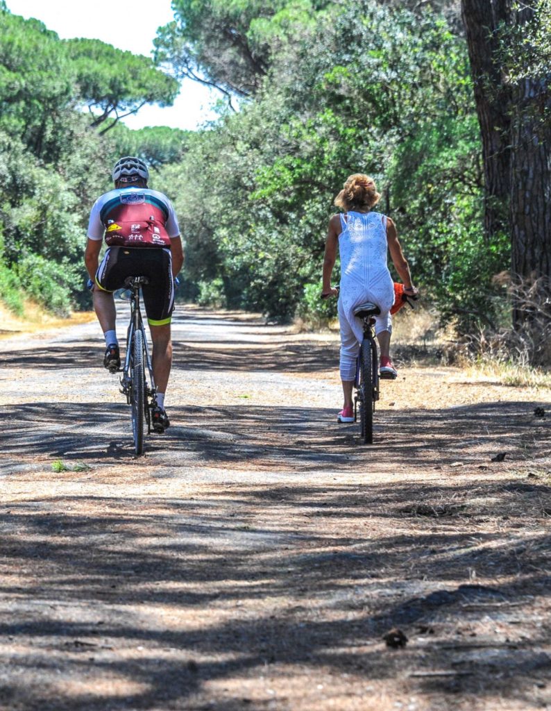
Limited to a section about 400m long (between the beach resorts Elmi and Tio Pepe) where the bicycle path is narrow and shared with pedestrian traffic. - Terrain type : tarmac
- Difficulty:
Easy, all flat ground except for a slight slope at the entrance of the Marina. - Safety: Safe, no road crossings and no car traffic.
- Where to park a car:
Free parking areas on via Giuliano da Sangallo (might be busy on Saturdays due to the presence of a local market), lungomare Duca degli Abruzzi and the Marina.


